These step-by-step instructions are for Greensea Systems and Greensea IQ control software versions 5.0 and later; previous versions are not compatible with ENC files.
Electronic Navigational Charts (ENC) are digital representations of real-world geographical areas for the purpose of Marine navigation.
National Oceanic and Atmospheric Administration (NOAA) ENCs are vector-based nautical charts. The term vector means that each feature is a point, line, or area that is encoded with tabular data. The attributes in this table control how the feature appears in the ENC. For example, a line representing shoreline that is attributed as “approximate” will result in a dashed line, while one that is attributed as “surveyed” will be solid. In short, the ENC is essentially a database.
The following steps can be done using the VideoRay system computer/tablet via Firefox browser or an external PC.
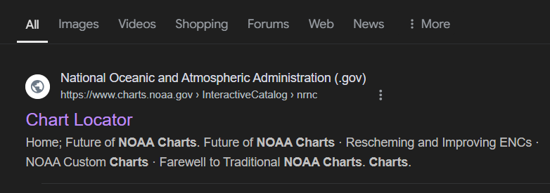
To find an NOAA chart, open a browser and search, “NOAA ENC chart locator”, which should give you this result in the search: https://www.charts.noaa.gov/InteractiveCatalog/nrnc.shtml
Open the NOAA site and view the locator page.
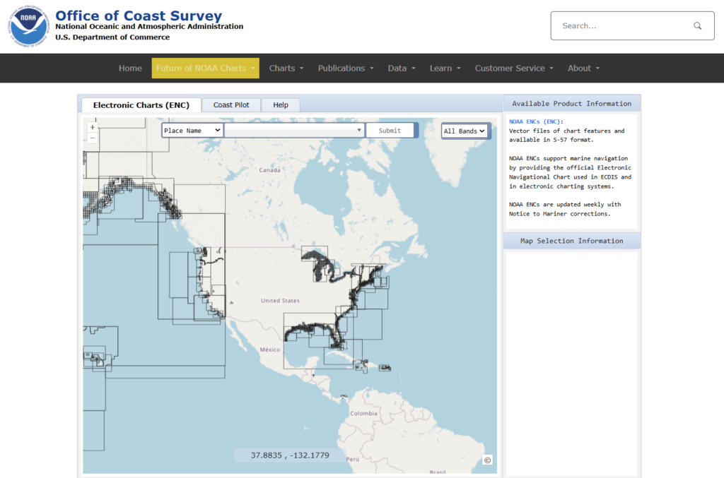
Use the search bar or zoom method to find and select a bounding box around the desired area. Once selected, a sidebar with file information will appear. Click on ENC under ‘Available Products’.
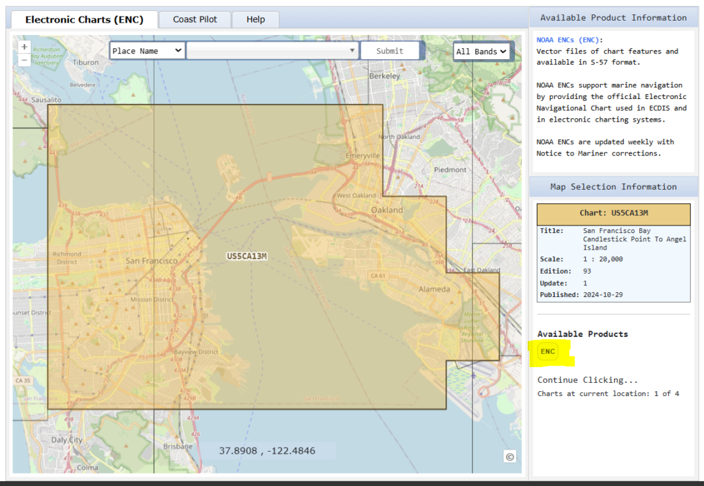
A User Agreement window will open. At the bottom of the User Agreement, click OK. The file will then download as a .zip folder.
For VideoRay system computer/tablet downloads, find the .zip folder and move it to the Charts folder in the Home directory.
For external PC downloads, find the .zip folder and copy it over to a portable drive. If asked to move the folder without all of its properties, click yes. Turn on the VideoRay system computer/tablet. Open the Charts folder from the Home directory. Insert the portable drive and open the folder. Copy the .zip folder from the portable drive over to the Charts folder in the Home directory.
A mouse or keyboard/mouse will be needed for these next steps.
In the Charts folder, rename the .zip folder with the waterway or region by right-clicking and selecting ‘Rename…’.
Right-click the .zip folder and select ‘Extract Here’; a new folder should appear. The ENC file is now saved in the directory.
Open the Greensea control software and navigate to the chart import menu (location will differ by Greensea version). Select import/add file and browse to the Charts folder.
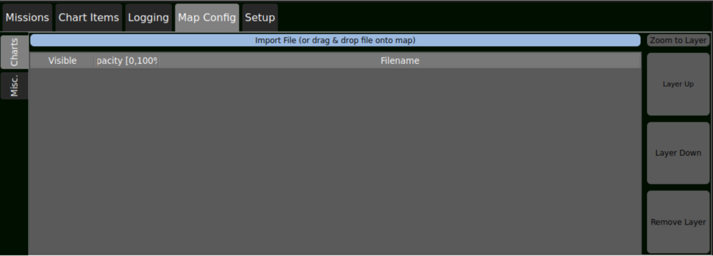
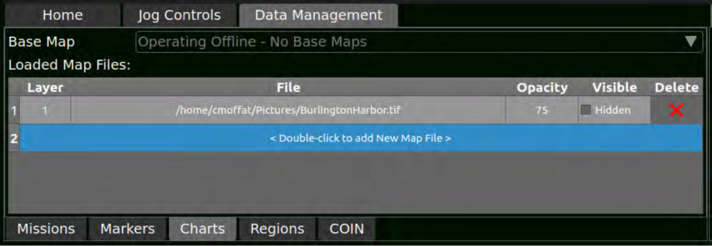
Select the desired folder until file ‘CATALOG.031’ is shown. Select the file by double-clicking or clicking ‘Open’ ; the window should close and the chart should now appear in the list.
Once satellite positioning is acquired, the chart should be visible in the map view. Verify that the map is zoomed in and ensure ‘Hidden’ is not checked if the chart is not visible.